Plan for parkland in Minneapolis Above the Falls Area under review
The Above the Falls Regional Park Master Plan
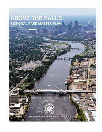
Photo: Minneapolis Park & Recreation Board
As the Minneapolis Park Board considers a renewed Above the Falls Regional Park Master Plan, it will underscore its commitment to expanding parkland throughout the Upper Riverfront area.
Weve been talking about these plans for some time. So to review, in June, the City of Minneapolis officially approved its Above the Falls Master Plan, a comprehensive plan for land use and other activities along the river north of Plymouth Avenue. On the heels of that plans passage, the Minneapolis Park & Recreation Board (MPRB) is updating its vision for the Above the Falls area. Much the plan could be characterized as refinements to the 1999 plan, with a couple notable exceptions.
First, the vision for parkland on the west bank of the river, particularly between Broadway and Lowry Avenues, is less extensive than it once was. The conclusion of the recently-adopted City plan for the area was that there were a few industrial land uses that would be very difficult to move in the near future.
But the Citys commitment to new parkland at several other sites gets a stronger treatment in this plan than in previous plans. The recent RiverFirst initiative, led by the MPRB and the Minneapolis Park Foundation, refined design concepts for a number of new facilities, including the park planned for the Scherer/Halls Island site just north of Plymouth Avenue.
Finally, one issue remains somewhat unresolved in the draft Master Plan. There has been considerable behind-the-scenes debate about exactly how to draw the boundary between parkland and development at the Upper Harbor Terminal site. Upper Harbor Terminal is the 48-acre, City-owned barging facility that extends many blocks from roughly Lowry Avenue to north of Dowling Avenue. Operations are winding down at the site in the next year, and so the plan will have an important role in guiding the future of this site.
At a minimum, the current draft of the plan suggests a strip of about 200 feet of parkland be created through the area. But 200 feet is just barely enough to accommodate a green slope to the river, trails and a parkway. FMR, some Park Board members, and other stakeholders believe a larger footprint for parkland at the site makes sense. At a minimum, FMR believes the plan should continue to identify all the land shown as parkland in the 1999 plan as parkland in the current plan.
FMR has taken a particular interest in this site, having worked with the City, MPRB, and others in 2005 to create a plan for the redevelopment of Upper Harbor Terminal.
Your voice will be important in ensuring the plans successful adoption including encouraging substantive parkland at Upper Harbor Terminal. The plan is posted online, where comments are being collected through August 3rd. There will be public hearings on the plan later this summer as well. If you have questions, please call River Corridor Program Director Irene Jones at 651-222-2193 x13.